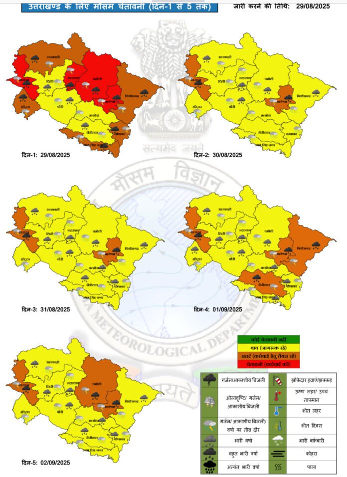
In a decisive step toward strengthening early-warning systems for disasters, several Himalayan states have jointly sought the establishment of a dedicated satellite constellation from the central government. This proposal was presented during a recent space ministerial meeting in Delhi, where state representatives urged more precise monitoring of weather, water levels, snowfall, and disaster-prone terrain across high-altitude regions.
Our correspondent reports that Uttarakhand’s IT secretary, Nitesh Jha, represented the state at the meeting and submitted a detailed proposal outlining both pre- and post-disaster measures facilitated by enhanced satellite infrastructure. The proposal calls for high-resolution satellite imagery (with ground resolution better than 50 centimetres), digital elevation models, and LiDAR-based topographic data to monitor slipping slopes, glacial melt, and other geophysical hazards.
States argued that existing broad satellite data is often insufficient for the fragile Himalayan terrain, which requires more frequent, precise imaging to anticipate flash floods, landslides, or abrupt changes in glacial lakes. The proposal emphasises that a region-specific satellite group would ensure continuous data collection tailored to the topographical and meteorological complexities of the Himalayan ecosystem.
According to the meeting brief, the requested satellites would operate exclusively for Himalayan terrain monitoring and data acquisition. This would assist climatic studies, real-time assessment of terrain movements, and emergency communications where traditional networks fail post disaster. The state delegation also proposed the creation of a dedicated climate observatory to analyse and disseminate real-time data to district administrations.
Our correspondent adds that the proposal includes synthetic aperture radar (SAR) capability to pierce cloud cover and seasonal haze, making the system effective even during monsoon or cloudy conditions. Officials insisted that such a setup would allow assessment of landslide risks, glacial lake outburst threats, and flood dynamics with greater accuracy than is possible now.
Participants in the space meet also discussed post-disaster communication gaps. They noted that terrestrial networks often fail in remote valleys after extreme events. A satellite-based communication overlay, integrated with the proposed constellation, would maintain connectivity for relief operations.
Proponents of the plan argued that Himalayan states face greater climatological volatility than most regions and thus deserve their own satellite resources instead of relying solely on national general systems. They asserted that such tailored capability would significantly reduce the latency in receiving critical warning signals, giving authorities more time to respond.
However, the proposal must pass central scrutiny and funding approval. Critics point out the high cost of satellite manufacturing, launch, and maintenance, alongside the need for ground infrastructure such as tracking stations, data processing centres, and regional coordination bodies. States have assured that they are ready to coordinate with national space agencies and public institutions to share costs and technical resources.
The space meet is expected to forward the Himalayan states’ proposal to India’s space agency and the Department of Space for further evaluation. If accepted, this could mark one of the first region-specific constellations serving terrain highly susceptible to natural hazards.
This initiative could offer Himalayan states a sharper scientific edge in disaster mitigation and climate resilience. The coming weeks will reveal whether the central government agrees to carve out this specialised satellite infrastructure for the high mountains.


