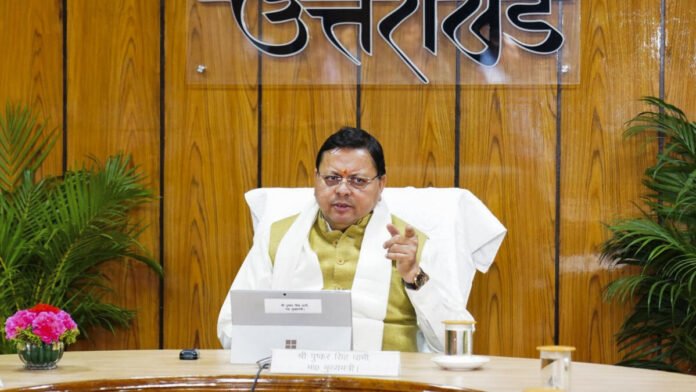
Chief Minister Pushkar Singh Dhami is taking an important step towards modernizing disaster management in Uttarakhand. He has called on officials to leverage new technologies like satellite imaging and remote sensing to accurately assess property damage and identify high-risk areas. This approach shows that the government is committed to using data and scientific methods to improve how we handle disasters and provide relief. By doing this, they hope to speed up the process of assessing damage and help in planning for a stronger and more resilient Uttarakhand in the future.
During a recent high-level meeting, the Chief Minister proposed forming a scientific team in collaboration with the Uttarakhand State Council for Science and Technology (UCOST). This team’s job will be to analyze patterns from recent disasters and offer scientific guidance for future city planning and infrastructure projects, ensuring they are built safely and sustainably. He also emphasized the importance of incorporating technology into search and rescue operations to maximize efforts to save lives. This proactive plan reflects the government’s dedication to its citizens and highlights their commitment to building a safer environment for everyone.
Furthermore, in response to the needs of the homeless in Tharali, the Chief Minister instructed officials to provide immediate shelter and start rehabilitation efforts promptly. He pointed out the necessity of ensuring that relief materials reach those affected quickly, emphasizing that all essential items must be delivered together and undergo quality checks, including rations.
“The relief material should reach the affected people quickly, and all the items needed should be provided at once,” he said, noting that quality checks on everything, including rations, must be done.
This new policy from the government comes after a series of disasters linked to the monsoon that highlighted the need for a more effective disaster management approach. Utilizing satellite imagery, for instance, will allow authorities to quickly and accurately assess damage, which aids in the fast distribution of relief. It will also help identify areas prone to landslides and floods, enabling the government to take preventive measures and give early warnings to residents.


