Fresh details have emerged on the scale of devastation caused by the August 5th flash flood in Dharali, Uttarkashi, with satellite imagery from the Indian Space Research Organisation (ISRO) confirming extensive damage to infrastructure and property. According to the latest analysis, more than 130 buildings were damaged, while large areas of land have been scarred by debris flow, altering the natural course of local streams.
Satellite Imagery Brings Clarity
High-resolution images from ISRO’s Cartosat-3 satellite show that the deluge created a massive debris field measuring approximately 750 metres by 450 metres. The sudden flood washed away structures, blocked roads, and disrupted vital links in the affected area. Authorities noted that such precise assessments are critical in guiding rehabilitation and reconstruction efforts, particularly in fragile Himalayan zones where terrain changes can have long-lasting consequences.
The flood, triggered by heavy monsoon rains, hit Dharali and surrounding areas earlier this month, causing widespread panic and forcing evacuations. While immediate rescue operations were conducted by SDRF, NDRF, and local authorities, the new ISRO report provides the first comprehensive picture of the structural damage.
Scale of the Impact
Preliminary reports from the ground had suggested heavy destruction, but the ISRO data now confirms the magnitude. Over 130 residential and commercial buildings have been marked as damaged, and several farms and orchards were buried under layers of mud, rock, and uprooted vegetation. Local residents say the disaster has destroyed not only homes but also the agricultural backbone of the community, with apple orchards and small plots wiped out.
Government’s Response
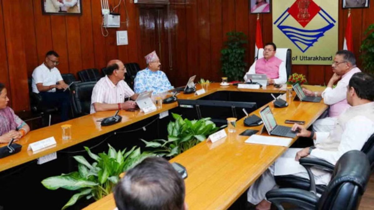
The Uttarakhand government has ordered a detailed assessment of damages based on ISRO’s findings. Officials have already announced that rehabilitation packages will be tailored according to verified satellite and on-ground surveys. Relief camps continue to house displaced families, and temporary shelters have been set up for those who lost their homes.
Chief Minister Pushkar Singh Dhami has reiterated his government’s commitment to providing support to every affected family. “We will ensure that no one is left behind in this crisis. The satellite data will help us rebuild better and plan more resilient infrastructure for the future,” he said.
Need for Stronger Risk Planning
Experts have stressed that the Dharali disaster underscores the urgent need for better flood risk planning and monitoring in Uttarakhand. Given the state’s vulnerability to cloudbursts, glacial lake outbursts, and landslides, satellite-based mapping and early-warning systems could play a crucial role in averting loss of life and property.
Environmentalists have also pointed out that unplanned construction in sensitive zones increases disaster risks. They argue for stricter regulations on building activity near rivers and streams, alongside community training in disaster preparedness.
The Road Ahead
While the immediate focus remains on relief and rehabilitation, the long-term challenge lies in creating climate-resilient infrastructure. Officials are considering new embankments, reforestation drives, and improved drainage systems in flood-prone areas of Uttarkashi. Meanwhile, ISRO will continue to provide satellite inputs to track landform changes, ensuring that rebuilding efforts are based on accurate, scientific data.
The Dharali flood has once again highlighted Uttarakhand’s fragile geography and the need for sustained investment in disaster preparedness. As the state rebuilds, the integration of modern technology with traditional resilience practices could determine how well Uttarakhand copes with future calamities.


